UN
39 Church Road
£ 90,000
Description
We don't have a Description for this property.
- Bedrooms
- 3
- Bathrooms
- 0
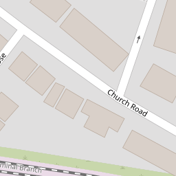


Leaflet © OpenStreetMap contributors
The heatmap indicates the level of crime in the area. The color of the heatmap indicates the crime severity and recency.
Metrics Year-on-Year
- Average area value
- 116,250.00 £Increased by 8.73 %
- Average area rental value
- 695.00 £/moDecreased by 10.67 %
- Est rental Yield
- 7.17 %Decreased by 17.87 %
- Crime Rate
- 9.00 %Unchanged by 0.00 %
from 106,921.00 £
from 778.00 £/mo
from 8.73 %
from 9.00 %
Nearby Schools
| Name | Type | Ofsted | Distance |
|---|---|---|---|
| Alsop High School | Academy Sponsor Led | 0.35 KM | |
| Gwladys Street Primary And Nursery School | Community School | Good | 0.48 KM |
| Arnot St Mary Cofe Primary School | Voluntary Controlled School | Good | 0.65 KM |
| County & Walton Children'S Centre | Children's Centre | 0.67 KM | |
| Northcote Primary School | Community School | Good | 0.80 KM |
Images
Nearby Streets
| Name | Average Price | Average Sqft | Distance |
|---|---|---|---|
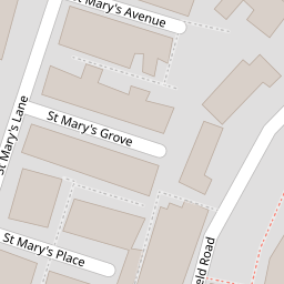
| St Mary's Avenue | £ 0 | 0 | 0.00 KM |
| Drayton Road | £ 75,000 | 0 | 0.00 KM |
| Elm Road | £ 0 | 0 | 0.00 KM |
| Beech Road | £ 133,750 | 0 | 0.00 KM |
| Heathcote Road | £ 0 | 0 | 0.00 KM |
Nearby Transport
| Name | NLC | TLC | Distance |
|---|---|---|---|
| Walton (Merseyside) | 2251 | WAO | 1.43 KM |
| Rice Lane | 2131 | RIL | 1.57 KM |
| Orrell Park | 2247 | OPK | 2.03 KM |
| Kirkdale | 2245 | KKD | 2.04 KM |
| Bank Hall | 2238 | BAH | 2.81 KM |
Nearby Listings
| Address | Price | Type | Score | Distance |
|---|---|---|---|---|
| Church Road, Walton, Liverpool, Merseyside, L4 | £ 60,000 | BUY | 6 / 10 | 0.01 KM |
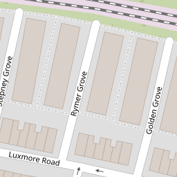
| Stepney Grove, Liverpool | £ 94,995 | BUY | 4 / 10 | 0.11 KM |
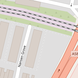
| Nansen Grove, Liverpool, L4 | £ 120,000 | BUY | 6 / 10 | 0.16 KM |
| Walton Village, Liverpool | £ 140,000 | BUY | 6 / 10 | 0.17 KM |
| Luxmore Road, Liverpool, Merseyside, L4 | £ 90,000 | BUY | 4 / 10 | 0.17 KM |
Nearby Properties
| Address | Price | Distance |
|---|---|---|
| 26 Church Road | £ 80,000 | 0.00 KM |
| 32 Church Road | £ 50,000 | 0.00 KM |
| 11 Church Road | £ 31,500 | 0.00 KM |
| 39 Church Road | £ 90,000 | 0.00 KM |
| 22 Church Road | £ 70,000 | 0.00 KM |